
A clear project stage and a usable site boundary are part of the brief. Without them, a feasibility model can look more certain than the opportunity itself.
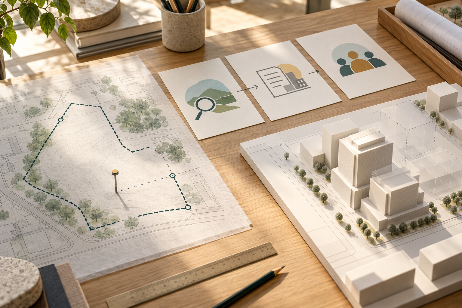
Start with the question behind the map
A site can look ready on a map and still be a weak starting point for feasibility.
Before asking what can be built, ask two simpler questions: what land are we talking about, and what decision has actually been made about it?
Those questions sound administrative. They shape the whole model.
A public notice may describe land as available for interest while saying the area is approximate and that no allotment is assured. A separate redevelopment page may show that its request for proposals has closed and that a development partner has been selected. Both records are useful. They describe different stages of a project, and neither should be read as a complete design brief.
The site boundary matters just as much. A district, campus or group of parcels can be much larger than the land that one project can use. If the boundary is unclear, the model may quietly include land, access or development rights that are not part of the decision.
Separate screening from commitment
Early screening does not need perfect information. It needs honest information.
If the boundary is approximate, say so. If a public process is still open, in negotiation or already awarded, record that status and the source date. If ownership, access or development rights are not confirmed, show them as unknowns. A rough model can still help someone decide whether to learn more. It should not turn an open question into a precise answer.
A useful site-level check asks four things:
- Boundary: Is there a dated survey, drawing or map for the exact parcel in scope?
- Stage: Is the project an early enquiry, an active process, a selected proposal or a later delivery stage?
- Decision rights: Who can provide the brief, and what is still subject to approval or negotiation?
- Known and unknown: Which inputs are confirmed, which are estimates, and which are missing?
The answers do not need to be complete for a first conversation. They do need to be visible.
Let the model show its limits
When a site is only partly defined, the useful output is not a more polished plan. It is a clear account of what the current information can support.
That may mean showing a range, comparing a few stated assumptions, or stopping before the model suggests a level of certainty the brief does not have. The next step should follow from the gap: obtain the parcel drawing, confirm the project stage, or ask who controls the decision.
A feasibility result is only as useful as the land and decision it represents. The map starts the conversation. The boundary and project stage tell us what the model is allowed to say.
Disclosure: The public-record examples behind this draft illustrate two specific notices checked on 08-10-2026. They do not show how common either condition is. Early screening can still use approximate inputs if the result labels them clearly. A site-specific conclusion would change when a dated parcel boundary, current project status and decision brief are verified.